
October 29, 2018
What IF digital mapping could help save our forests?
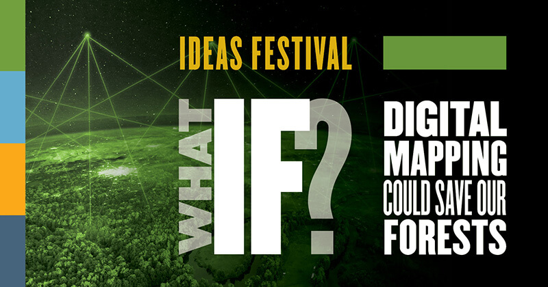
What IF digital mapping could help save our forests? A presentation Nov. 1 will address that question as a part of Purdue's Ideas Festival.
Geographic Information Systems are often used to delimit forest resources, support the design of forest inventories, map forest resources, and analyze, model and support decision making to sustainably manage forests. Nicolas Picard, secretary of the Committee on Mediterranean Forestry Questions-Silva Mediterranea, a statutory body of the Food and Agriculture Organization of the United Nations, will discuss how forest management can benefit from progress in GIS technology.
Picard’s keynote presentation is part of the Purdue Libraries’ annual GIS Day Conference. This year marks the 10th annual GIS Day Conference. All conference events with the exception of the career lunch are open to the public. Picard’s keynote presentation will begin at 10 a.m. in Stewart Center, Room 206. The keynote will be livestreamed online.
Picard has 20 years of research experience in tropical forestry, having worked in Mali, Gabon and Cameroon. Picard will discuss optimizing forest roads to harvest trees in tropical rainforests and the definition of indexes to assess the level of geographic marginality in marginal and peripheral tree populations in the Mediterranean region.
This keynote presentation is a part of Purdue's celebration of its 150th year and specifically of the anniversary's Ideas Festival, the centerpiece of Purdue's Giant Leaps Sesquicentennial Campaign. The Ideas Festival will feature a series of events that connect world-renowned speakers and Purdue expertise in a conversation on the most critical problems facing the world. This event is part of one of the four Ideas Festival themes, “Sustainable Economy and Planet: Innovative Today for a Sustainable Tomorrow.”
More information about the presentation can be found online.
Writer: Kelsey Schnieders Lefever, kschnied@purdue.edu
