Mild and dry weather expected initially this winter in Indiana
November 9, 2015
 |
|
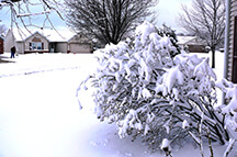
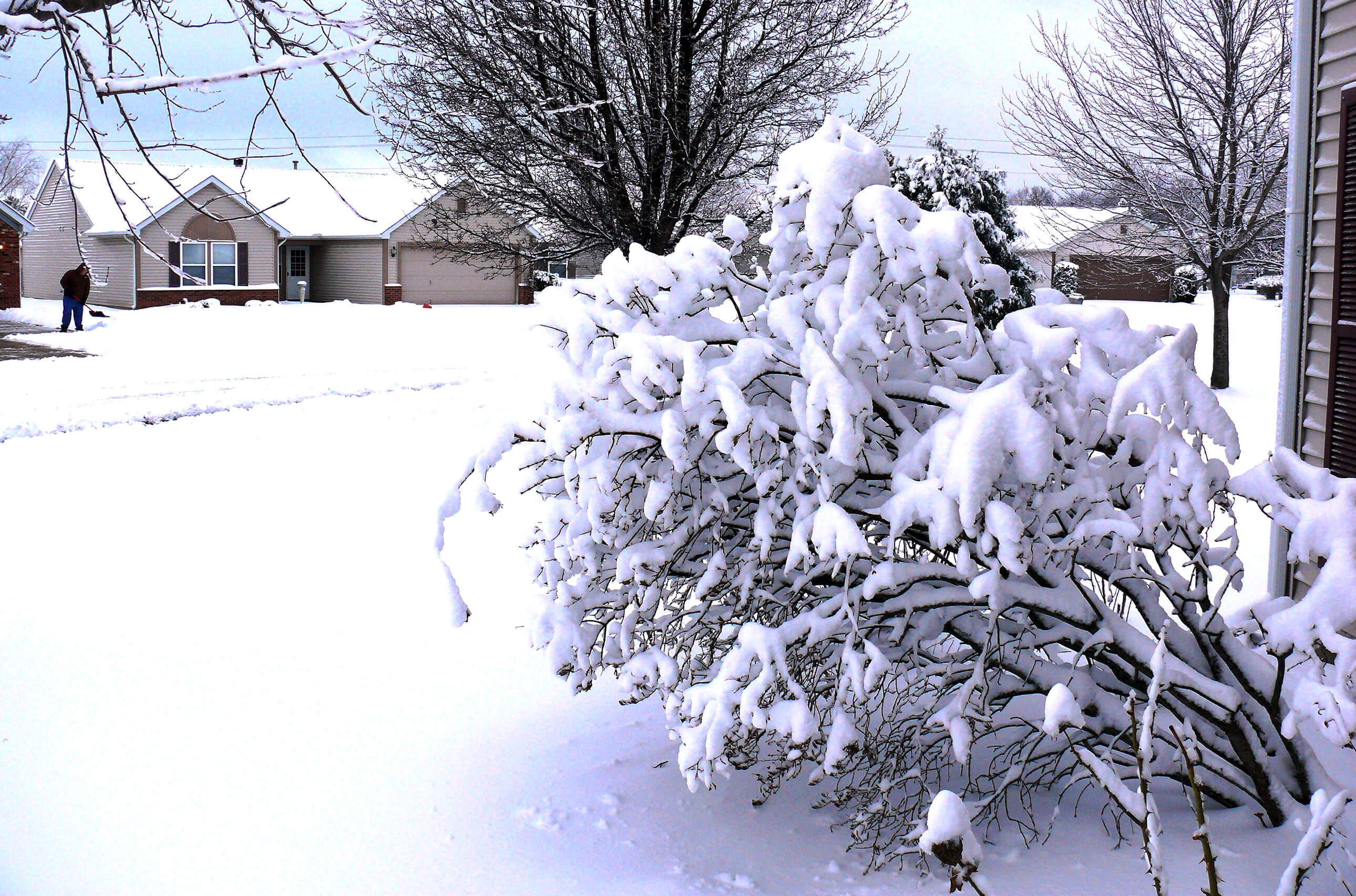
There could be fewer scenes such as this in Indiana this winter - at least early on - if the weather outlook of the Indiana State Climate Office, based at Purdue University, holds true. (Purdue Agricultural Communication file photo/Keith Robinson) |
WEST LAFAYETTE, Ind. - Indiana likely will be mild and dry early this winter and then return to more normal weather later in the season, the Indiana State Climate Office says.
The outlook will be seen as comforting to those who don't like cold and snow. The two previous winters in Indiana for the most part were cold - at times brutally so - and included heavy snowstorms. Yet climatologists caution that this does not mean Indiana won't have blustery cold snowstorms that blow through the region during the peak of the winter months.
Winter weather in the Midwest is often driven by combinations of global weather patterns, known as oscillations. One oscillation may have more influence over all others in determining what any winter season turns out to be like in Indiana.
This year, the major oscillation at work is ENSO, the El Niño - Southern Oscillation, or, specifically, the El Niño portion of ENSO. El Niño is identified by the cyclic warming of tropical surface water temperature in the Pacific Ocean. It affects Indiana weather, especially in the winter.
The current El Niño, which arrived in Indiana over the summer and should reach its peak in December, is among the strongest on record since 1950, said the climate office, based at Purdue University.
"Weather history tells us very strong El Niños bring warmer temperatures and about half the normal amount of snow to Indiana," said Dev Niyogi, Indiana state climatologist. "A famous example of El Niño warmth was Christmas Day 1982 when no coats were needed outdoors in Indiana.”
If El Niño fades after December, more normal temperatures and precipitation could return in the second half of winter, or another oscillation, such as the Arctic Oscillation, may become more dominant and bring a much colder and snowier late winter.
"Currently, a fading El Niño in late winter with more normal winter weather seems more likely," said Ken Scheeringa, associate state climatologist.
Last November was unseasonably cold, with conditions including locally heavy snowfall, gusty winds and many traffic accidents on icy roads. December was generally pleasant and easy, with hardly any snowfall. Then more typical winter weather returned and with it snowstorms. The storms continued in February, and temperatures dropped 10-30 degrees below normal for 15 consecutive days.
But that wasn't as severe as the previous winter, which often brought crippling snowstorms and temperatures and wind chills as much as 30 degrees below zero for extended periods.
The Useful to Usable climate initiative, based at Purdue, has an online tool to better assess how climate patterns such as El Niño in other parts of the world can influence local conditions. The tool is available at https://mygeohub.org/groups/u2u/tools.
Writer: Keith Robinson, 765-494-2722, mailto:robins89@purdue.edu
Sources: Dev Niyogi, 765-494-6574, iclimate@purdue.edu
Ken Scheeringa, 765-494-8105, kens@purdue.edu
Ag Communications: (765) 494-2722;
Keith Robinson, robins89@purdue.edu
Agriculture News Page
